Thinking about buying acreage near Lake Gaston? The promise of space, privacy, and lake access is exciting, but the details can feel complicated fast. Between shoreline rules, multi-agency permits, wells and septic, and county-by-county zoning, small mistakes can cost time and money. This guide breaks it all down so you know what to check first, what approvals matter, and how to avoid common pitfalls. Let’s dive in.
Confirm the exact location
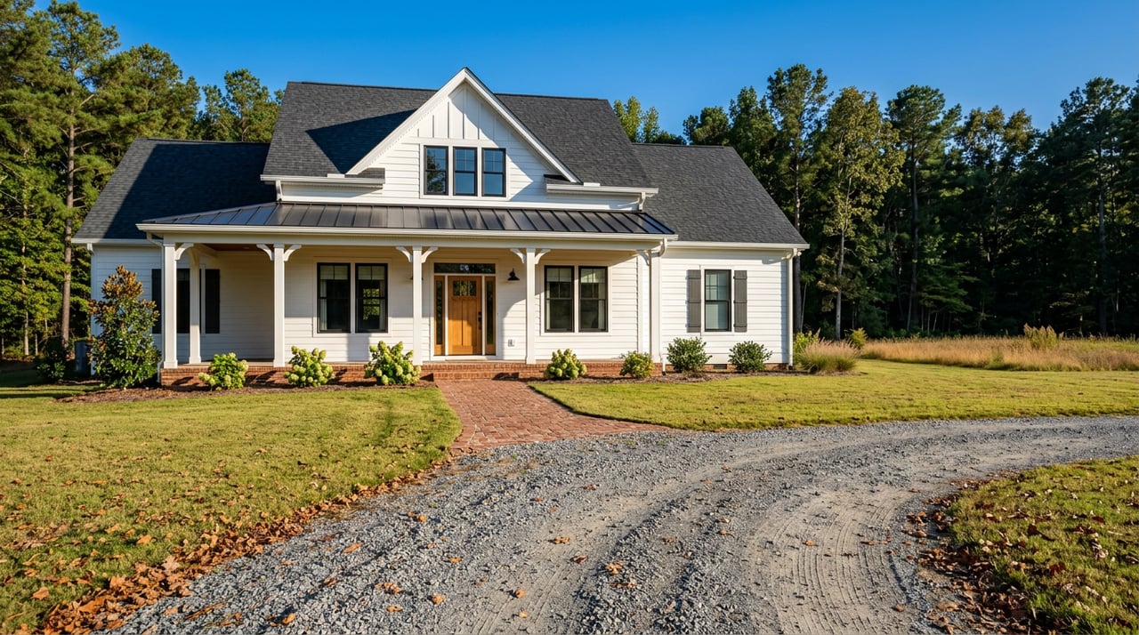
Before you go too far, make sure the parcel is truly near Lake Gaston. “River Lakes, Gaston, NC” can be confusing, because there are communities called River Lakes in Gaston County near Lake Wylie, which is a different market entirely. A listing example in Belmont shows how “River Lakes” can appear in Gaston County even though it is not on Lake Gaston. If you see that label, verify the county, the lake, and the parcel address before you schedule a tour. You can use a neighborhood example like the River Lakes subdivision in Belmont to understand how names repeat regionally.
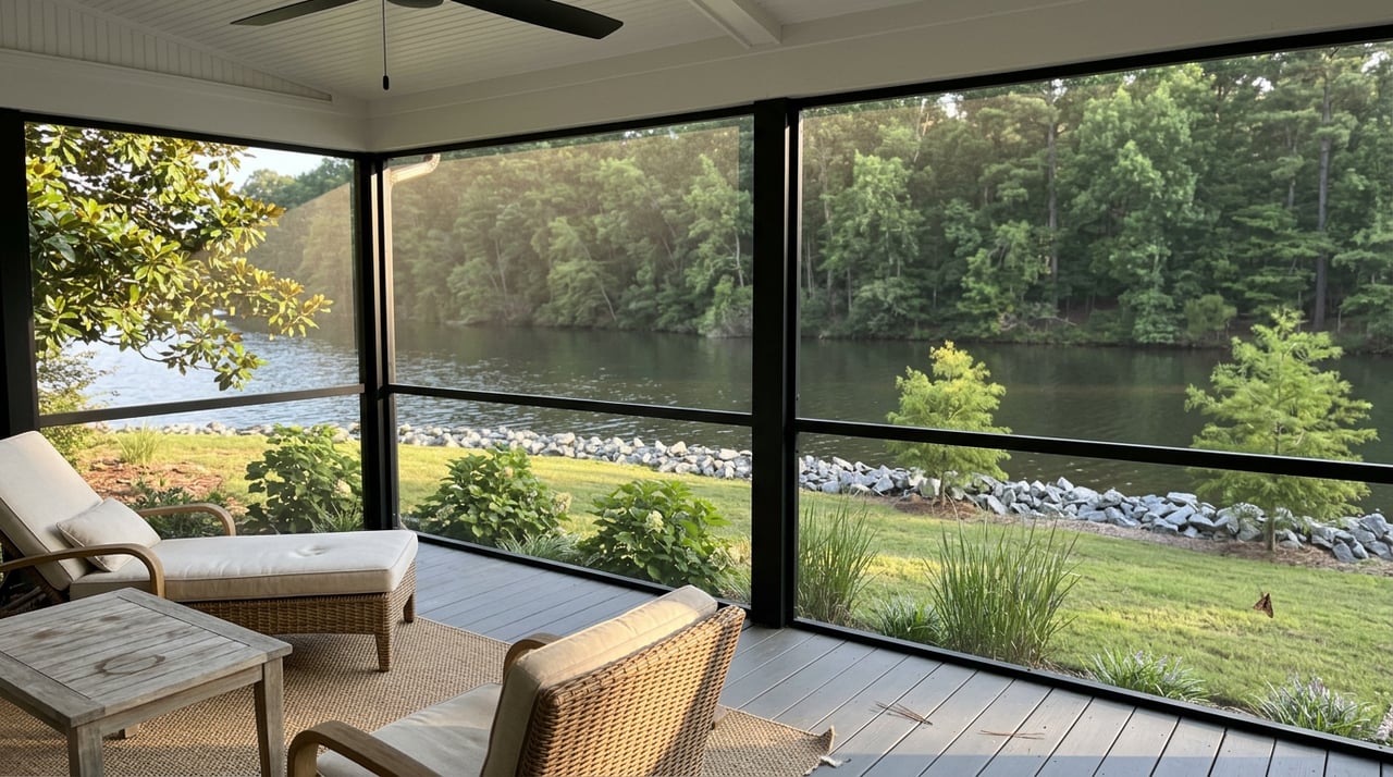
Lake Gaston itself is a managed reservoir of about 20,300 surface acres on the North Carolina and Virginia border. It touches multiple counties on both sides of the line, and the lake and much of its shoreline are managed under Dominion Energy’s hydropower license. That multi-jurisdiction setting is why your due diligence needs to be precise and well documented.
- See a “River Lakes” example in Gaston County near Lake Wylie to understand the naming overlap. Example neighborhood listing context
- Learn more about Lake Gaston’s size and stewardship. Habitat and lake overview
Who manages the shoreline
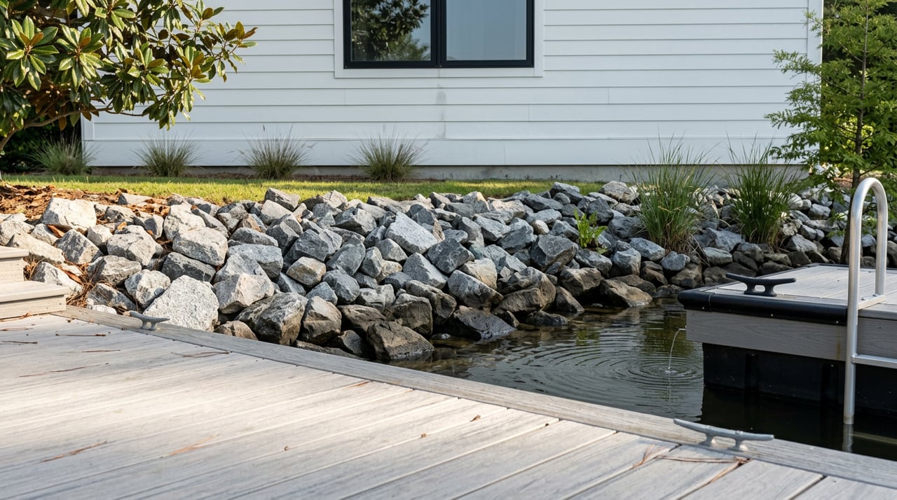
Dominion Energy manages Lake Gaston’s impoundment and administers a Shoreline Management Program. If your acreage touches the lake or includes shoreline improvements, you must confirm any existing Dominion shoreline license and understand what is allowed. Docks, boathouses, lifts, riprap, bulkheads, and vegetation removal are regulated on or adjacent to company-managed land. The right to have a private dock or stabilize a bank is conditional, not automatic.
- Start with Dominion’s lake page for policies and contacts. Dominion Energy: Lake Gaston
- Review the current Construction & Use Agreement to see licensing terms, transfers, and maintenance rules. Construction & Use Agreement
In-water work often triggers federal and state reviews. The U.S. Army Corps of Engineers regulates certain work in navigable waters and wetlands through Section 10 and Section 404 permits. State water-quality and buffer standards may apply too. Even with Dominion approval, you may still need federal, state, and local permits before you can build or modify a dock or shoreline structure.
- Understand federal permit pathways and timing. USACE Regulatory Program
Many subdivisions also have their own covenants or architectural review rules about dock size and placement. Local governments may apply separate footprint limits. One regional agenda shows how jurisdictions set maximums and cove-width rules, which can vary by reservoir.
- See a regional example of dock-size rules used nearby. Local dock footprint example
Permits and timelines
Approvals can take weeks to months, especially if your plan requires in-water work or fill below the ordinary high-water mark. Sequence your steps to avoid rework. A typical waterfront improvement might require a Dominion shoreline license first, then USACE and state reviews, plus local building permits. Your HOA or POA, if any, may require a separate application and written approval.
Expect license fees, proof of insurance, engineering or placement limits, and renewal or transfer requirements. If a dock exists, ask whether it is covered by a current Dominion license and if that license transfers at closing. If it does not, factor in the risk that replacement or expansion may not be approved in the same way.
How acreage differs from a lot
A multi-acre tract near the lake is not just a larger version of a standard residential lot. It often demands commercial-grade due diligence, a deeper look at soils and access, and more coordination with county health and planning staff.
Title and survey essentials
Order a thorough survey if you plan to build, divide, or finance the land. An ALTA/NSPS Land Title Survey, or a boundary and topo survey with key Table A items, will map easements, rights-of-way, encroachments, utilities, improvements, and often flood notes. Lenders and title companies commonly require an ALTA for large-lot or development deals, and it can save you from setbacks later.
- Learn what an ALTA survey includes. ALTA/NSPS guide
Ask your title company to identify any shoreline licenses, dock easements, road maintenance agreements, and restrictive covenants. Confirm legal access to the parcel, especially if it sits down a private drive.
Access and roads
Verify whether your access is on a public road or a private easement, and who maintains it. If you plan a new driveway onto a state route, you will likely need an NCDOT or county driveway permit. For private roads, check whether the width, base, and grades meet emergency vehicle standards. If your access crosses a stream or wetland, plan for extra permitting and potential mitigation.
Wells, septic, and utilities
Many Lake Gaston parcels rely on wells and septic. Ask the county health department about soils in the area, prior permits, and what types of systems they typically approve. Plan for a soils evaluation or percolation testing by a licensed professional. If you aim to support multiple homes or an accessory dwelling, confirm the overall wastewater loading and options for engineered or cluster systems. State water-quality and buffer rules can influence what and where you build.
- Review state-level context for onsite wastewater and buffers. NC water-quality planning
For power and communications, confirm the nearest electric lines, the serving utility, and broadband options early. If line extensions are needed, get cost estimates in advance and factor them into your budget.
Floodplain and wetlands
Use FEMA’s Map Service Center data to check your panel and flood zone. Structures in a Special Flood Hazard Area generally require elevation compliance and flood insurance for financed purchases. If the site is low, plan for added foundation engineering and higher insurance costs. If your project touches mapped wetlands or requires in-water work, you will likely need a wetland delineation and coordination with the Corps and state regulators.
- Understand flood-mapping basics and SFHAs. FEMA map resource overview
Vegetation and shoreline ecology
Lake Gaston has active vegetation and habitat management programs, and stabilization choices affect water quality and neighbors. Soft shoreline approaches and native plantings are often preferred by lake councils and state agencies. Always coordinate with Dominion and local contacts before altering vegetation or banks.
- See a historical overview of local habitat work. Lake Gaston habitat overview
Zoning and subdivision
Zoning and subdivision rules are set at the county level and can be very different across Halifax, Northampton, and Warren counties in North Carolina, and Brunswick and Mecklenburg in Virginia. North Carolina has a state statute that limits how counties may regulate certain single-family homes on large agricultural lots over 10 acres. That can change how a large tract is reviewed compared with a small subdivision lot. Do not assume a pass on local rules, because watershed overlays, special districts, and conditional approvals can still apply.
- Read the state statute context and confirm locally. NC G.S. 153A-340 overview
If you plan to split the land, check the county’s subdivision triggers, minimum lot sizes, road standards, and whether public water or sewer, if available, must be extended. Subdivision can require engineered plans, bonds, and a multi-step review, so budget time for it.
Costs to expect
Here are common line items buyers of acreage near the lake should plan for:
- Survey and title work, particularly if you order an ALTA and need Table A items.
- Soils testing, well drilling, and septic design, including engineered systems where needed.
- Driveway construction, culverts, and any erosion and stormwater controls if your disturbance is large.
- Shoreline licensing fees, dock engineering, and permit costs across Dominion, USACE, and state reviews.
- Power and broadband line extensions if service is not at the property line.
- Flood-compliant foundations or elevation certificates for sites near the water.
Buyer checklist
Use this step-by-step list as your roadmap:
- Confirm the parcel’s county and whether it is actually on or near Lake Gaston, not a similarly named community near another lake.
- Ask the seller for the deed, any recent survey, any Dominion shoreline license, and any prior USACE or state permits. Include HOA or POA covenants and approvals if present.
- Order a title commitment and a survey that shows boundaries, easements, utilities, improvements, and flood notes. Consider an ALTA/NSPS survey for development or lender needs.
- Schedule soils and percolation testing, and consult the county health department about septic options and well feasibility.
- Run a floodplain check using FEMA map data and request any Elevation Certificate or flood insurance history.
- Contact Dominion Energy’s Shoreline Management team to confirm whether a shoreline license exists and what is allowed for docks or shoreline stabilization.
- If you plan to develop, consult a local civil engineer or land planner to scope roads, culverts, erosion control, and utility extensions, and to sequence permits.
- If wetlands or in-water work are likely, hire a qualified wetland or environmental professional and coordinate with the Corps and state agencies early.
- Verify zoning, overlays, setbacks, minimum lot sizes, and subdivision rules with the county planning office. Get answers in writing when possible.
- Budget time for approvals. Shoreline and in-water permits often take months and can require design changes.
Ready to explore acreage near Lake Gaston?
You deserve a smooth purchase that protects your long-term plans. As a boutique Lake Gaston team with on-the-ground expertise in shoreline, flood exposure, docks, and multi-acre tracts, we will help you confirm the location, line up the right surveys and permits, and navigate county rules with confidence. If you are eyeing acreage, or if you want a second opinion on a site you already love, reach out to Scott Watson for a thoughtful, no-pressure game plan tailored to your goals.
FAQs
What should I verify first when a listing says “River Lakes, Gaston, NC”?
- Confirm the actual county, the lake it borders, and the parcel address, because “River Lakes” also appears near Lake Wylie in Gaston County, which is a different market than Lake Gaston.
Who decides if I can build a dock on Lake Gaston?
- Dominion Energy manages shoreline licensing, and you may also need U.S. Army Corps and state approvals, plus HOA or local permits where applicable.
Do most Lake Gaston acreage parcels have public water and sewer?
- Many rural parcels rely on private wells and septic systems, so plan for soils testing, system design, and county health department approvals.
How long do shoreline and in-water permits take?
- Timelines vary, but multi-agency reviews can take weeks to months, so build permitting lead time into your purchase and construction schedule.
What survey is best for multi-acre development near the lake?
- An ALTA/NSPS Land Title Survey, or a boundary and topo survey with key Table A items, helps map easements, utilities, and encroachments to support financing and construction.
Could flood zones or wetlands limit where I build on acreage?
- Yes, FEMA flood zones can affect foundations and insurance, and mapped wetlands or in-water work can add permits, design changes, or mitigation costs.