You bought at the lake for peace and play, not paperwork. Yet on a reservoir like Lake Gaston, what you can build, where your boundary lies, and how you access the water all come back to riparian rights. If you are eyeing a home in Macon on the Warren County, NC side, you want clear answers before you make a move. This guide explains what riparian rights usually mean on Lake Gaston, how they affect docks and views, and the due diligence that protects your investment. Let’s dive in.
Riparian rights on Lake Gaston
Riparian rights are a bundle of property interests that attach to land touching water. They often include access to the water, reasonable use for boating or mooring, and certain rights related to gradual shoreline changes such as accretion or reliction. The exact scope of your rights depends on state law, your deed, and surveys.
Lake Gaston is a large reservoir. That matters because reservoirs often include third‑party interests that can limit or shape private shoreline use. On any waterfront parcel, your rights will be read together with recorded easements, covenants, and the operating rules for the lake.
Key point: Your riparian rights are real, but they are not absolute. They are always conditioned by deed language, easements, permits, and the need to avoid unreasonable interference with neighbors and navigation.
Reservoir rules that change the playbook
Reservoirs commonly involve flowage or flood‑control easements, and operating rules that can affect water levels and shoreline use. Lake Gaston straddles the North Carolina and Virginia line, and its creation involved utility interests. Many parcels were impacted by easements and inundation agreements when the lake was formed.
That is why buyers should assume there may be recorded easements and operational controls in place until a full title and plat review proves otherwise. Always confirm the parcel’s state jurisdiction, because North Carolina and Virginia treat certain riparian issues differently.
Boundaries and shoreline ownership in Warren County
Deeds around Lake Gaston often describe boundaries using phrases like “to the mean high water line,” “to the water’s edge,” or “to the centerline of the lake.” The exact boundary for your lot will be controlled by your recorded deed and any plats, not by general assumptions.
On many man‑made lakes, the state or the original reservoir builder owns the lakebed or holds easements over low‑lying lands for flood control. Title on a private lot may stop at a defined high‑water mark even if the shoreline appears to continue. A current boundary survey that depicts the high‑water line and any easements is essential.
Natural change doctrines can also matter over time. Gradual additions to the shore, called accretion or reliction, can enlarge a riparian owner’s land under some circumstances. Sudden changes, called avulsion, typically do not move property lines. How these doctrines apply depends on North Carolina law and the specific facts at your site.
How rights affect docks and boathouses
Riparian owners commonly have a presumptive right to install reasonable structures that support access and use, such as docks or lifts. Reasonableness is the standard most states apply. What counts as reasonable depends on navigation, structure size, lake traffic, and impacts to adjacent owners.
Your right to a dock is not automatic. It is subject to deed restrictions and covenants, recorded easements, state and federal permits, and protections for your neighbors’ access. On Lake Gaston, there can be additional layers because the reservoir operator may require approval for permanent structures or shoreline changes. Homeowner associations often impose stricter rules than the government.
If a property already has a dock or boathouse, ask for copies of all permits and any as‑built drawings. If you plan to add or modify a structure, start early on approvals and confirm setbacks from side lines to avoid conflicts.
Permits and approvals on the NC side
On the North Carolina side of Lake Gaston, multiple authorities can be involved in docks and shoreline work:
- State environmental or natural resources agency for inland waters, wetlands, and shoreline stabilization.
- U.S. Army Corps of Engineers for activities that trigger federal jurisdiction.
- Warren County planning, zoning, and building departments for local approvals, setbacks, and building permits.
- The reservoir operator for consents tied to historical easements and operating rules.
- Homeowner association or subdivision architectural review, if applicable.
Timeframes vary. Simple private floating docks often move faster. Fixed piers, larger boathouses, shoreline stabilization, or work near wetlands can take months and may require engineering or mitigation. If a seller’s structure lacks permits, verify whether it can be permitted after closing or if removal could be required.
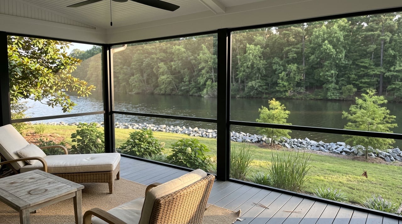
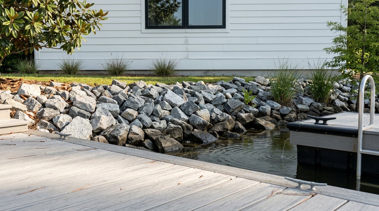
Views, vegetation, and shoreline work
There is generally no automatic legal right to preserve a lake view under riparian law. Views are controlled by deed‑based easements, covenants, or occasionally by local ordinances. If protecting a view matters, confirm recorded protections or choose a lot where setbacks and the buildable area on neighboring parcels make future blockage unlikely.
Shoreline stabilization, such as riprap or seawalls, and grading work often require permits. Removal of trees or vegetation near the shore can raise erosion and water‑quality concerns and may be regulated, especially within shoreline buffer areas. Plan stabilization and landscaping with permits in mind.
Common disputes and how to prevent them
- Dock placement and neighbor access. Conflicts often arise when a structure interferes with a neighbor’s fair access channel. Use surveys and side‑line projections to plan locations.
- Unpermitted structures. Buyers sometimes inherit docks or bulkheads that were never approved. Gather permits early and confirm transfer or reissue procedures.
- Erosion and flooding. Ownership and responsibility for stabilization depend on title, easements, and permit conditions. Understand who can do what, and where.
- Ambiguous deed language. Phrases like “to the water’s edge” can be unclear without a survey and historic documents. Resolve ambiguity with a professional review.
- HOA or covenant limits. Association rules may restrict dock size, location, boathouse height, or rentals. Read these documents before you commit.
Buyer due‑diligence checklist for Macon waterfronts
Use this quick list before you write an offer on the Warren County, NC side:
- Verify state jurisdiction and that the parcel is wholly within Warren County, NC.
- Order a current boundary survey showing the high‑water line and all recorded easements.
- Obtain and read the deed, plus any recorded plat or subdivision map.
- Pull a title report to identify flowage easements, reservations, and utility rights related to the reservoir.
- Ask the seller for as‑built drawings and permits for docks, boathouses, bulkheads, and shoreline work. Confirm permits are recorded, transferable, or can be reissued.
- Contact the county Register of Deeds and Planning Department to confirm local ordinances, setbacks, and building rules.
- Check for HOA covenants that limit dock type, placement, heights, setbacks, or rentals.
- Contact the reservoir operator or prior developer, if known, to confirm operational restrictions, normal pool elevation, drawdowns, and no‑build zones.
- Confirm flood insurance needs and septic constraints, including septic setbacks and suitability.
- If you plan new work, contact the state agency and the U.S. Army Corps of Engineers early to understand permit scope and timelines.
- Consult a local real estate attorney with experience in riparian and reservoir issues before finalizing an offer.
Local resources to contact
- Warren County Register of Deeds for recorded deeds and plats.
- Warren County Planning, Zoning, or GIS for parcels, setbacks, and flood zones.
- North Carolina state environmental or natural resources agency for inland water and shoreline permits.
- U.S. Army Corps of Engineers for federal permit thresholds.
- Reservoir operator records for historic easements and operating rules.
- HOA or subdivision covenants and architectural review documents, if applicable.
- A local land surveyor or civil engineer for boundary and high‑water mark confirmation.
- A real estate attorney experienced in riparian and reservoir property.
Work with a local specialist
Waterfront living should be simple and fun. The best way to get there is to verify rights and permits on the front end. The Watson Group combines local stewardship with technical know‑how on shoreline, docks, flood exposure, and acreage so you can buy or sell with confidence on Lake Gaston’s NC side. If you want clarity on a specific parcel in Macon, or you are planning a sale and need a clean file of permits and surveys, we are ready to help.
Have questions or want a property‑specific plan? Connect with Scott Watson for local guidance, or get your free Lake Gaston home valuation.
FAQs
What are riparian rights for Lake Gaston owners in Macon, NC?
- They are property rights tied to waterfront land, including access and reasonable water use, shaped by your deed, surveys, state law, and any easements or permits.
Do I automatically have the right to build a dock on Lake Gaston?
- No. Dock rights are subject to reasonableness, deed restrictions, recorded easements, state and federal permits, reservoir operator rules, and any HOA covenants.
Who issues permits for docks and shoreline work on the NC side?
- Approvals can involve the state environmental agency, U.S. Army Corps of Engineers, Warren County departments, the reservoir operator, and HOA or subdivision review.
How are lake views protected on a Lake Gaston property?
- There is no automatic right to a view; protection depends on deed‑based view easements, covenants, or local rules, so confirm recorded protections before you buy.
What documents should I request from a seller of a waterfront home?
- Ask for the deed, plats, current survey, title report noting easements, all dock and shoreline permits, as‑built drawings, HOA covenants, and any agency correspondence.